Top: 39.383
Bottom: 39.336
Left: -123.691
Right: -123.784
Spatial Reference: Coordinate System GCS North American 1983
Angular Unit: Degree (0.017453292519943295)
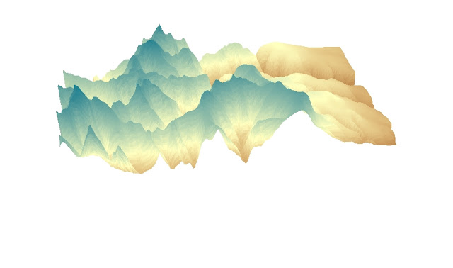
The area I selected was the portion of Santa Monica Mountains, California. I chose this area because it has phenomenal elevation differences.The map is projected from three different perspectives, including aspect, slope and area. Also, I think the 3D projection presents the most visual concept of how the elevation of the mountain is. The four images give us a complete idea of how Santa Monica Mountains look like.


No comments:
Post a Comment